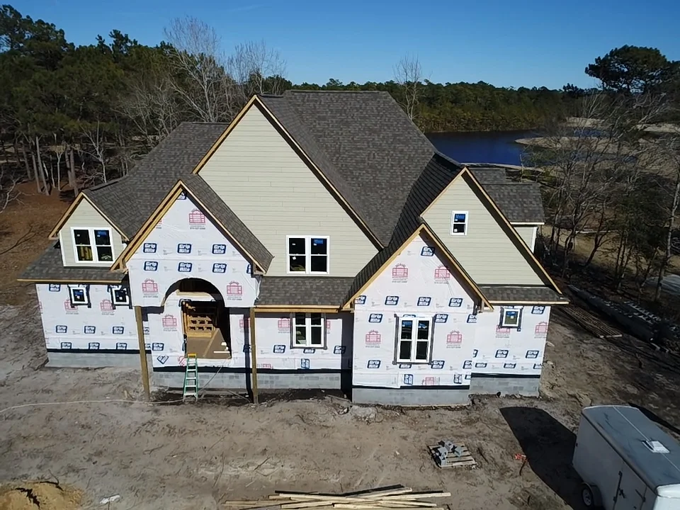
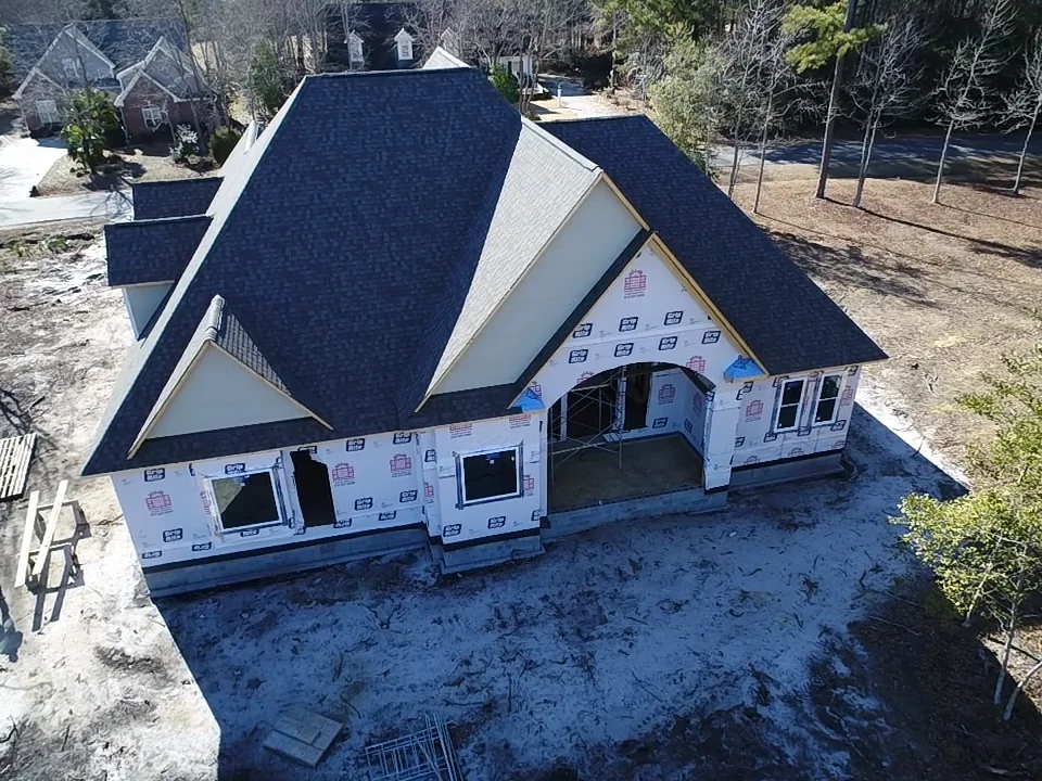
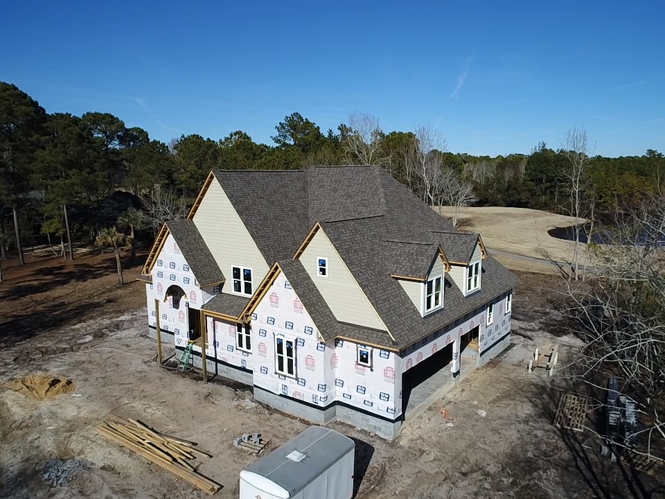
Need to keep clients or investors apprised of progress on a new construction project? Or are you perhaps a contractor wanting to provide a family a look at how building on the new house is coming along? Topsail Aerial can add that custom touch!
Need 3D, elevation, or survey mapping? We take a large album of photos along a precision track, develop a map from the photos, and apply that map to a variety of applications to give you the results you need.


